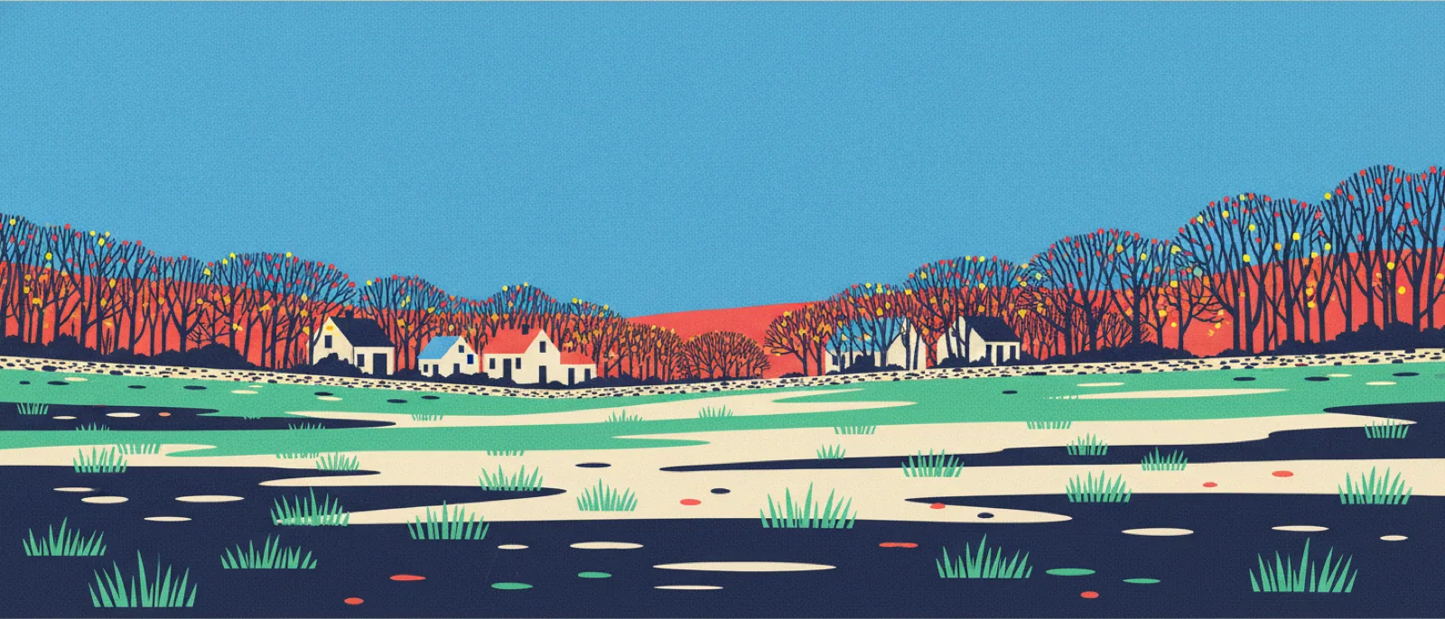
Right outsideLandscape
Mud season in Massachusetts: why spring ground turns to mud
When: March to April
For a few weeks each spring the ground stops taking water in and starts holding it on top, so trails, lawns and dirt roads turn to mud. Massachusetts groundwater is at its yearly maximum in March and April, because rain and snowmelt soaked in all winter while no plant was drinking any of it.
Why this time of year
USGS records from Massachusetts observation wells put the annual maximum water level most often in March and April. Whatever falls then lands on ground that is already full, so it stands and runs across the surface instead of sinking.
How to notice it
- Step on the same soft patch of trail twice in one day, once before nine and once mid-afternoon. Early it can be a crust that holds you; by afternoon the same spot takes a whole boot.
- Compare a south-facing slope with a north-facing one on the same walk. The south side firms up first and the shaded hollows stay soft for weeks longer.
- Push a stick straight down at the edge of a puddle and note how many inches of soft mud you get through before it stops on something firm.
- Watch where the water actually is. It pools and runs on top rather than sinking, hours after the rain stopped.
Try this with kids: Poke a stick straight down into the soggiest spot you can find. How deep before something hard stops it, and can you find a spot nearby where it goes deeper?
the water table is the level underground below which the soil is completely full of water
Safety
- Walk straight through the middle of a muddy trail rather than around it. Stepping around the puddle is what widens paths and kills the plants at the edge.
- A crust that held you in the morning may not hold you after lunch, so expect a foot to go in.
- Ticks are active on warm spring days; check after walking through wet leaf litter.
Sources
- pubs.usgs.govUSGS Open-File Report 80-1205, Frimpter, Probable High Ground-Water Levels in Massachusetts: 83 Massachusetts observation wells with 8 to 37 years of record, maximum annual water levels occurring most frequently in March and April, with little or no recharge during the growing season when evapotranspiration is high and most recharge in late winter and early spring.
- usgs.govUSGS New England Water Science Center reaffirming the March and April maximum, retested against 153 wells in Massachusetts and surrounding states with 16 to 78 years of record.
- fpr.vermont.govVermont Forests, Parks and Recreation, cited ONLY for the aspect pattern used in the notice steps: south-facing slopes and trailheads dry while cold hollows and north-facing slopes stay wet. Vermont, not Massachusetts.
- fs.usda.govUSDA Forest Service, Green Mountain and Finger Lakes National Forests: spring rain over deep frozen ground makes it hard for the landscape to absorb water so it pools on trail surfaces. This is Vermont and New York and it is the reason the frozen-subsoil mechanism is confined to this entry's notes rather than stated in the deck.
Checked against these sources on September 4, 2026.